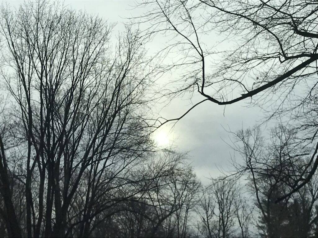
Browsed by
Category: landscape

Hitting Home

Hitting Home

The monster storm known as Milton made landfall last night about 9:30 p.m. It came ashore on the very same Florida beach I’ve been escaping to for more than a decade, Siesta Key.

A barrier island known for its sugar-white sand and relaxed village vibe, Siesta Key is a place I’ve come to know and love. The thought of it pummeled by 120-mile-an-hour winds and submerged under 10 feet of storm surge is making my stomach turn.

It’s too early yet to tell the extent of the damage. I’m hoping it’s minimal, but I’m afraid it’s not. In other words, Florida is still on my mind.

(A Siesta Key evening, 2023)

Florida on My Mind

Florida on My Mind

I’m thinking today not just of how beautiful it is — though it is certainly that — but of how low-lying, how houses and docks cluster along the shoreline and canals, how the place is threaded through with water.

Soon, the winds will blow, the seas will rise, the rain will fall. People are doing everything they can to prepare for the monster Milton, but how can any place cope well with storm surges of 10 feet or higher?

My trips to the west coast of Florida through the years have shown me how intimately people can live with water, how close to it they want to be, how calming they find its presence.

Now the presence has become a menace.

Fluid Again

Fluid Again

The long-sought precipitation arrived during the night, and I awoke to the pleasant sound of a steady rain. This morning, after an early appointment, I ventured out into the storm, which had dwindled to drips and mist by the time I started walking.

What struck me most was how the dust was tamped down. The woods were refreshed after weeks of parching, and I was energized by the damp greenery and water gurgling over rocks. 

Weeks of drought slowed movement. Now, with the moisture, the landscape was fluid again. 


Gas Giants

Gas Giants

When I think of the western states we just visited, I imagine the gas giant planets — Saturn, Jupiter, Uranus and Neptune. 

Utah, Colorado, New Mexico and Arizona (we didn’t stop in the latter, though we were within miles of it) have the same heft and proportions. Their landscapes are bare, alien, even dangerous at times (see yesterday’s post). 

Yes, they have an atmosphere, so I won’t take the metaphor too far, but there are similarities. They are near the outer edge of this continent, and are some of the last-explored places in the country. Their terrain can be hostile. Human effort appears puny in their vastness. 

Returning from a trip out west, then, is more like falling back to Earth, finding one’s self again on safe, familiar ground. 

Taking the High Road

Taking the High Road

There are two routes from Taos to Albuquerque. The first is via State Road 68, a straightforward approach through the valley.  It’s known as the Low Road or River Road because it parallels the Rio Grande. 

The second is a patchwork of lanes that weave through forests and hillsides, past small farms, galleries and old churches. Like any “blue highway,” you feel the lay of the land when you drive it. And if you’re prone to motion sickness, as I am, you’d best be behind the wheel.

At first we seemed destined for Route 68. We had a schedule to keep, after all, a flight leaving at 3. But the more I thought about it, the more the High Road called out to me. We wouldn’t have time to stop much, but we’d have time to absorb the scenery as we drove through it. 

I’m hoping that those sights, sounds and smells, like all the sensory riches of the last 12 days, will become a part of us. 

Canyonlands

Canyonlands

Utah has five national parks. There is Bryce with its hoodoos, Zion with its waterfalls, Arches with its, well, arches, and Capitol Reef with its domes. And then there is Canyonlands, the park we visited yesterday. 

I expected fewer people and a longer drive from Moab. What I wasn’t expecting was grandeur to rival the Grand Canyon. There were mesas and buttes and the Colorado River. There were rim walks and steep drops. There were vistas beyond vistas, and a view called Grand. Maybe not the Grand Canyon, but pretty darn close.

Rainstorm at Arches

Rainstorm at Arches

I told myself I wouldn’t take many photos yesterday when we toured Arches National Park. I’d visited five years ago, on a blue-sky May Monday, and snapped plenty of pictures then. Surely I didn’t need anymore.

But the index finger gets peckish in the presence of great natural beauty,. It wants to preserve the vistas. It hovers and snaps, almost without my permission.

I’m telling myself that every photo was justified. Yesterday’s weather was more dramatic. Dark thunderheads, lightning, and a driving rain (conveniently timed for our drive out of the park). But I took sunny shots, too. 

Utahhh!

Utahhh!

We arrived yesterday in red rock country, Utah, USA,  Moab to be exact. 

The drive from Pagosa Springs took us through passes and canyons, mountains on the horizon.When we arrived I could almost hear the collective sighs escaping from visitors to this magical place. 

It’s grandeur on a galactic scale. It reminds me of what our youngest daughter used to ask us on her first trip out west. “What country are we in?”

Can it possibly be the same one that includes Virginia? Doesn’t seem possible. 

Elevation 11,700

Elevation 11,700

We reached the Lobo Pass overlook on our way home from Creede, a quick detour. We piled out of the truck and into the pure air, dark clouds building and rain visible miles away. 

Once again, I tried taking a panoramic photo of the view in front of me, and once again I failed. Instead I tried to memorize what I saw from the pass: the never-endingness of it, dark forested hills in the foreground and sunlit peaks behind. A parfait of mountains, sky and clouds. 

We took turns guessing the elevation. I low-balled it at 8,800 feet, a rookie move since we’re staying above 7,000 and this was much higher. Others estimated 9,000 or 10,000. Then we looked it up: 11,700. Almost 12,000 feet above sea level. No wonder it felt like we were on top of the world. 

Ice Cave Ridge

Ice Cave Ridge

When I was a kid, I liked to explore the farm behind our house. It was mostly a cow pasture, but my romantic 14-year-old self once mapped it, naming one sheltered section the Land of Eternal Snows. 

I probably made this discovery in early March,  and I imagine that the small amount of white stuff that remained was gone the next day, but the Land of Eternal Snows it was.

Today I walked past fissures so protected from the sun that snow can last in them well into June. Since we were hiking in August, these were simply caves, not ice caves, but to peer into them was to see the earth revealing itself, layer by layer. 

What was most impressive about this trail, though, were the views off the ridge: mountains beyond mountains and a brow across from our trail, higher and more impressive than the one where we stood. I stayed well back from the edge. I always do.